IsoCulture logo

IsoCulture

Cultural regimes written into soil isotopes

IsoCulture

Cultural isoscapes of past societies

ISOCULTURE

Isotopic & social organisation of cultural land-use and regional epigenetic legacies

A new framework for reading soils and landscapes as long-term archives of human land-use decisions.

What is IsoCulture?

IsoCulture is a conceptual framework for interpreting stable isotope patterns as outcomes of long-term cultural land-use regimes.

What it studies

Real archaeological landscapes shaped by historically grounded land-use practices.

How it works

By integrating archaeology, soil science, and geochemistry to link isotopic variability with long-term social decisions.

IsoCulture shifts isotope research from short-term biomass signals to soils as long-term cultural archives, enabling historically grounded interpretations of human–landscape interaction.

Temporal depth of soil-based isocultures
Figure 1. Conceptual timeline of soil-based isocultures, illustrating how long-term land-use regimes—from Neolithic agrarian systems through medieval estates and urban deposits to modern land-use practices—are progressively archived within soils.

Regions of Investigation

Core regions, pilot studies, and comparative case studies included in the IsoCulture framework.

Geological Context

Geological background provides the long-term environmental framework controlling soil formation and baseline geochemical conditions. The map uses the official 1:50,000 geological map of the Czech Republic via a live WMS service.

1. Site
2. Geology
3. Climate
4. Land use
5. Soil
6. Sampling

IsoCulture – Cultural Isoscapes

Structured recording of geological context, soils, land-use regimes and cultural signals (WRB 2022)

1. Site and Context

1b. Geological Context

1c. Climate and Hydrology

2. Cultural Land-Use Regime

3. Soil Classification (WRB 2022)

Advanced soil descriptors

4. Pedological Parameters

5. Sampling and Analyses

Isoscape Modelling Framework – Overview

IsoCulture Isotope Modelling Framework Soil-based Sr, S, C and N isotopes following Hoogewerff et al. (2019) Field Sampling 70 sites, geological stratification A1, A2, B, C (+ deep C) Sr (⁸⁷Sr/⁸⁶Sr), S (δ³⁴S), C–N (δ¹³C, δ¹⁵N) Site Metadata WRB soils, geology, parent material Land use, climate, hydrology Historical land use (200–300 yrs) Data Preprocessing QC, normalization Predictor & horizon matrix Isotope Modelling • Sr & S isoscapes (geology-driven) • C–N patterns (land-use & trophic signal) • Kriging + Random Forest (R) Outputs & Applications CZ national baselines + comparative case studies Czech Republic · Israel · Spain · Poland

IsoCulture – Culturally Specific Isotope Signals

IsoCulture: What Soil C–N Isotopes Actually Record Empirically documented cultural practices preserved in soil and sediment archives Land-use context Cultural practice Isotopic signal & archive Agrarian systems Medieval fields (Třebokov) Central Europe Long-term manuring C₃ crop cultivation Repeated organic inputs δ¹³C–δ¹⁵N signal C₃ plant signature Elevated δ¹⁵N Preserved ≥600 years (upper B horizon) Agrarian hinterland Abandoned medieval villages Pilsen area (W Bohemia) Fields & erosion zones Targeted manuring Village-proximal fertilisation Soil & organic waste inputs Erosion–accumulation coupling δ¹³C–δ¹⁵N archive Elevated δ¹⁵N near villages C & N accumulation downslope Erosion sinks as isotope traps Prehistoric fields Eneolithic agriculture Central Europe Cultivation & burning C₃ crops Ash input δ¹³C–δ¹⁵N pattern C₃ vegetation Modified N cycling Urban environment Wenceslas Square Prague Waste disposal Human fecal input Urban refuse Isotopic evidence Strong fecal δ¹⁵N signal Soil & sediment archive No agrarian component

Project Team

Martin Janovsky

Dr. Martin Janovský

Archaeologist and geoarchaeologist specializing in archaeological geochemistry, micromorphology, and spatial analysis.

Responsible for project coordination, development of analytical workflows, design and supervision of sampling campaigns, data integration, and interpretation of results.


Jakub Trubac

Doc. Jakub Trubač

Geochemist and isotope specialist responsible for Sr and S isotope analyses, laboratory procedures, and interpretation of analytical results.

Core contributor during Years 3–5 of the project.


Tomas Klir

Doc. Tomáš Klír

Specialist in historical land-use analysis focusing on cadastral, military, and topographic sources.

He will conduct historical landscape reconstructions covering the past 300 years to complement isotope-based environmental data.

Advisory Board

Mario Pereiro Fernández

Mario Pereiro Fernández

Archaeologist at the Centre for Research in Archaeology, Landscape and Heritage (CISPAC), University of Santiago de Compostela.

Specialist in early medieval rural landscapes of north-western Iberia, agrarian practices, and archaeological field supervision.

Official profile →

Guy Bar-Oz

Guy Bar-Oz

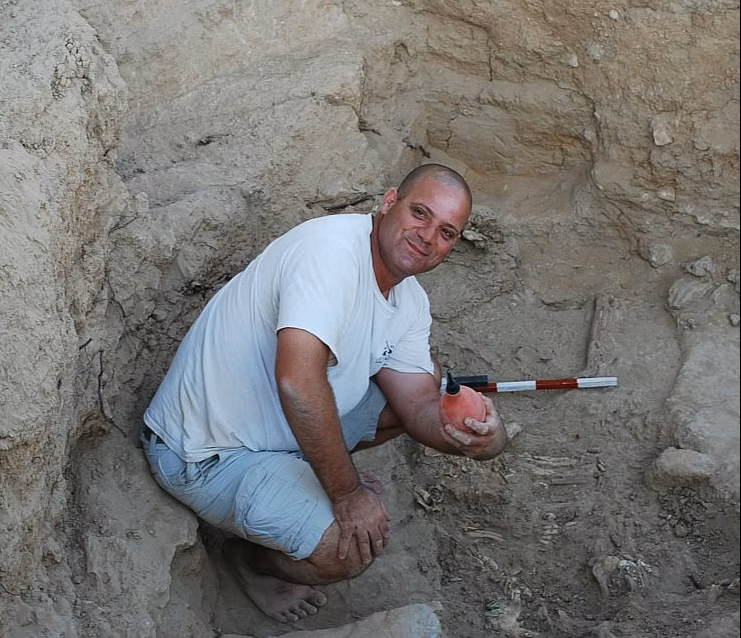
Professor of Archaeology at the University of Haifa and former PI of an ERC Consolidator Grant (2015–2020) focused on resilience and collapse in the Negev Desert.

He will coordinate sampling activities in Israel, drawing on his long-term research sites and well-documented monastic landscapes of the Negev Desert, and contribute to the development of the IsoCulture concept into ERC-oriented studies (M. Janovský as PI).

Official profile →